- Description
- Details
- Map
05 Val Tantermozza
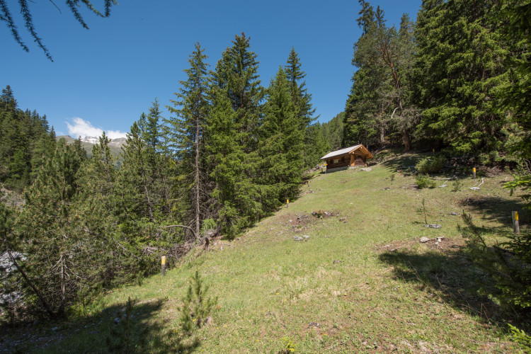
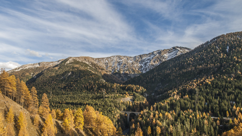
Schweizerischer Nationalpark - This short hike leads through a sparse spruce-larch-pine forest with some impressive giant trees.
In recent years this route has often had to be closed, due to the presence of unstable rocks alongside sections of the trail outside the Park. It is advisable to check on the current situation at Tourist Information in Zernez.
Particularities
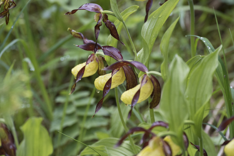
Seldom used and leading to a dead end, at entrance to a valley closed to public access. In June the lady's slipper blooms at the park boundary.
05 Val Tantermozza
Difficulty: white-red-white / easy
Some slopes with unstable rock masses must be crossed.
Arrival
Via the power station road, which branches off the main road 27 between Zernez and Brail until the turning point God d'Arduond. Or a longer, easy walk on the hiking trail from Zernez.
- child-friendly
Season
June, July, August, September, OctoberRoute-information
- Length
- 3.00 km
- Altitude difference ascent
- 200 m
- Altitude difference descent
- 200 m
- Time required
- 1 hour 15 minutes
- Level technique
- Middle
- Level condition
- Easy
Arrival
- Starting point
- God d'Arduond, Zernez. Anreise über Kraftwerkstrasse, die von der Hauptstrasse 27 zwischen Zernez und Brail abzweigt bis Wendeplatz God d’Arduond. Oder längerer, leichter Fussmarsch auf Wanderweg ab Zernez. (Altitude: 1625 m)
- Arrival by public transport
- Zernez Timetable SBB
- Destination
- Chamanna Tantermozza (Altitude: 1773 m)
Infrastructure
- Picnicplace
Links
The offer is suitable for
- Adults
- Children from 7-12 years
- Children >12 years
- 50+
- Families
- Groups
Contact
NationalparkzentrumUrtatsch 2
7530 Zernez
Tel. +41 (0)81 851 41 41
Mobile -
www.nationalparkzentrum.ch